This article is published in Aerospace Daily & Defense Report part of Aviation Week Intelligence Network (AWIN), and is complimentary through Mar 31, 2025. For information on becoming an AWIN Member to access more content like this, click here.

Metro Aviation Displays Helicopter Safety Innovation

metro
Credit: GN/AWST

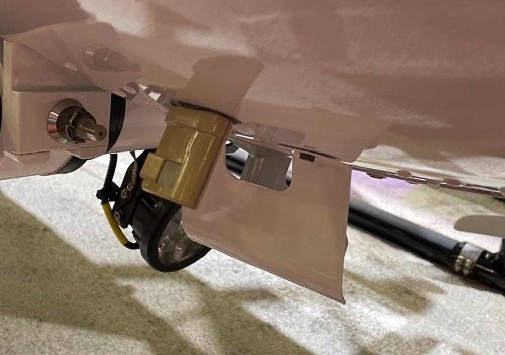
DALLAS—Emergency medical services helicopter provider Metro Aviation has begun fleetwide installation of a new weather sensor system designed to tackle controlled flight into terrain and inadvertent flight into instrument meteorological conditions (IMC)–two of the leading causes of fatal rotorcraft accidents.

Developed with communications specialist Outerlink Global Solutions, the sensor monitors the difference in real time between air temperature and dew point. Known as the temperature-dew point spread, data on this factor can be used to help map and predict when clouds will develop as the gap narrows to zero.

Data from the sensor will be relayed via Outerlink’s IRIS satellite-based real-time flight data processing system to Metro’s operational control center (OCC), which will alert the crew to increasing IMC conditions before takeoff and while en route.

“The problem is that sometimes we don’t have a clue what the cloud height is. I have seen our pilots at night that don’t have a weather station, go outside with a flashlight, and look up to try to guess where the clouds are. We solved that problem—we now have a probe,” Metro founder, President and CEO Mike Stanberry says. Metro’s first aircraft with the system, an Airbus H135, was displayed at the Verticon convention here.

Warren Carroll, director of safety innovation at the company’s Shreveport, Louisiana, facility, says the sensor–mounted below the nose of the helicopter–measures humidity and compares the reading with ground temperature and “the actual observed temperature as you’re climbing through cloud layers. It will observe either a temperature inversion or variations from the standard day temperature. Using that you can accurately predict where the cloud layer is going to be.”

Although for now the data is transmitted to the OCC, Carroll says Metro is “working toward a warning display direct to the pilot. There are several hoops to get through in terms of the FAA certification process, but that’s where we want to go.”

Ultimately, Carroll believes that as the system proliferates throughout the rotorcraft industry, it will enable the formation of a real-time, crowdsourced weather picture for rotorcraft pilots.

Guy Norris

Guy is a Senior Editor for Aviation Week, covering technology and propulsion. He is based in Colorado Springs.